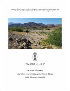
Mapping of the Prosopis-Juliflora (Mesquite) invasion and its effects on pastoralist livelihoods in the Red Sea State, Sudan – a remote sensing approach
Master thesis
Permanent lenke
https://hdl.handle.net/11250/3013134Utgivelsesdato
2022-08-01Metadata
Vis full innførselSamlinger
- Master theses [140]
Sammendrag
Land cover management policies and land use changes are among the risks facing pastoral lands in eastern Sudan. Land use/land cover (LULC) changes play a major role in the study of global change. LULC and human/natural modifications have largely resulted in deforestation, biodiversity loss, global warming, and an increase in natural disaster flooding. This thesis’s investigates vegetation change with a focus on the expansion of Prosopis-Juliflora (Mesquite) and its impact on pastoralist livelihoods in Red Sea State in Sudan. The current study was conducted in three areas of Red Sea State (Sinkat and Jubayt, Ashat, and Salum). Remote sensing and Geographical Information systems (GIS) were used to monitor and map changes in land cover and land use (LULC). Multi-temporal Landsat satellite data from 1984-2020, were used to identify LULC change and study the dynamics of change, the effects of the expansion of the P. juliflora on the livelihoods of pastoralists in the Red Sea region (Sudan), and the identification of possible adaptations therein were studied using interviews. Socioeconomic data were correlated with remote sensing data to analyze the causes and effects of change in LULC and land degradation.
